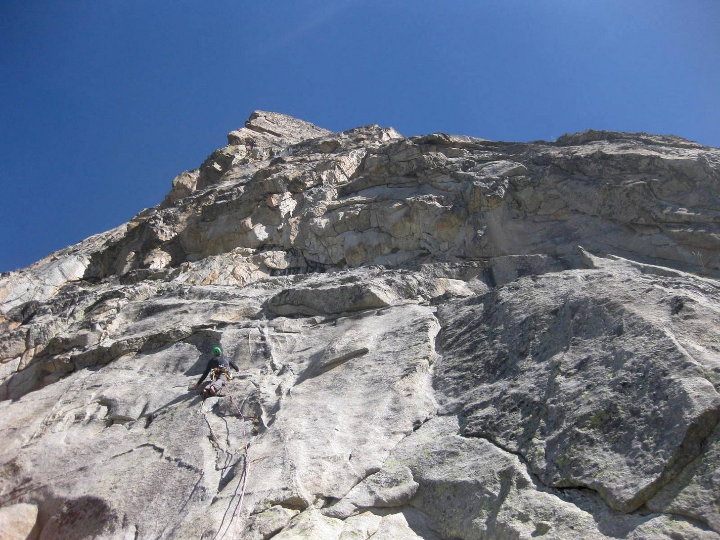
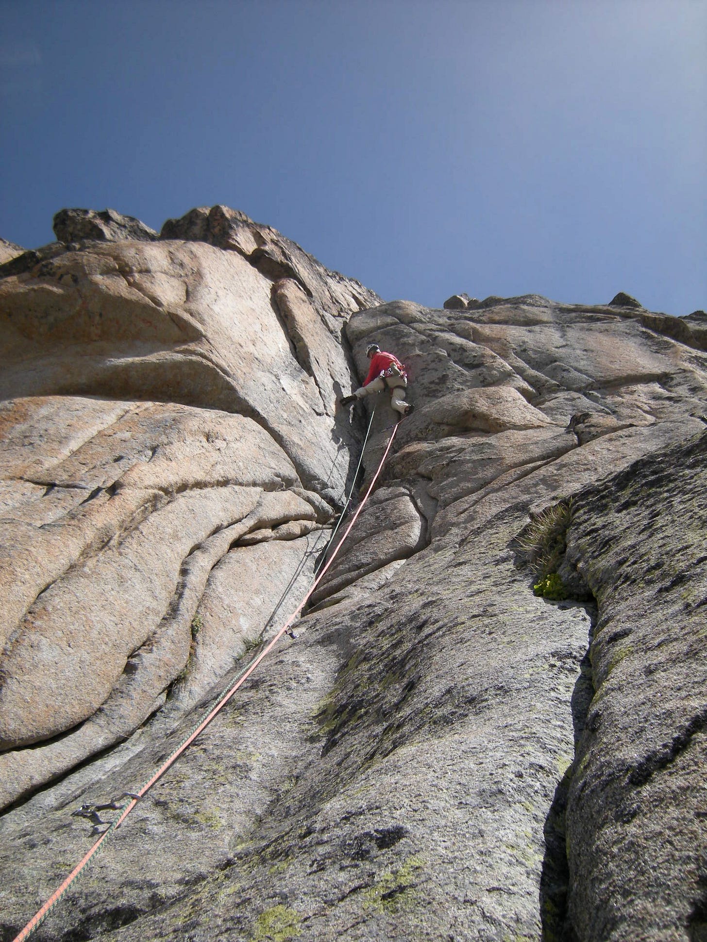
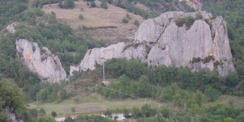
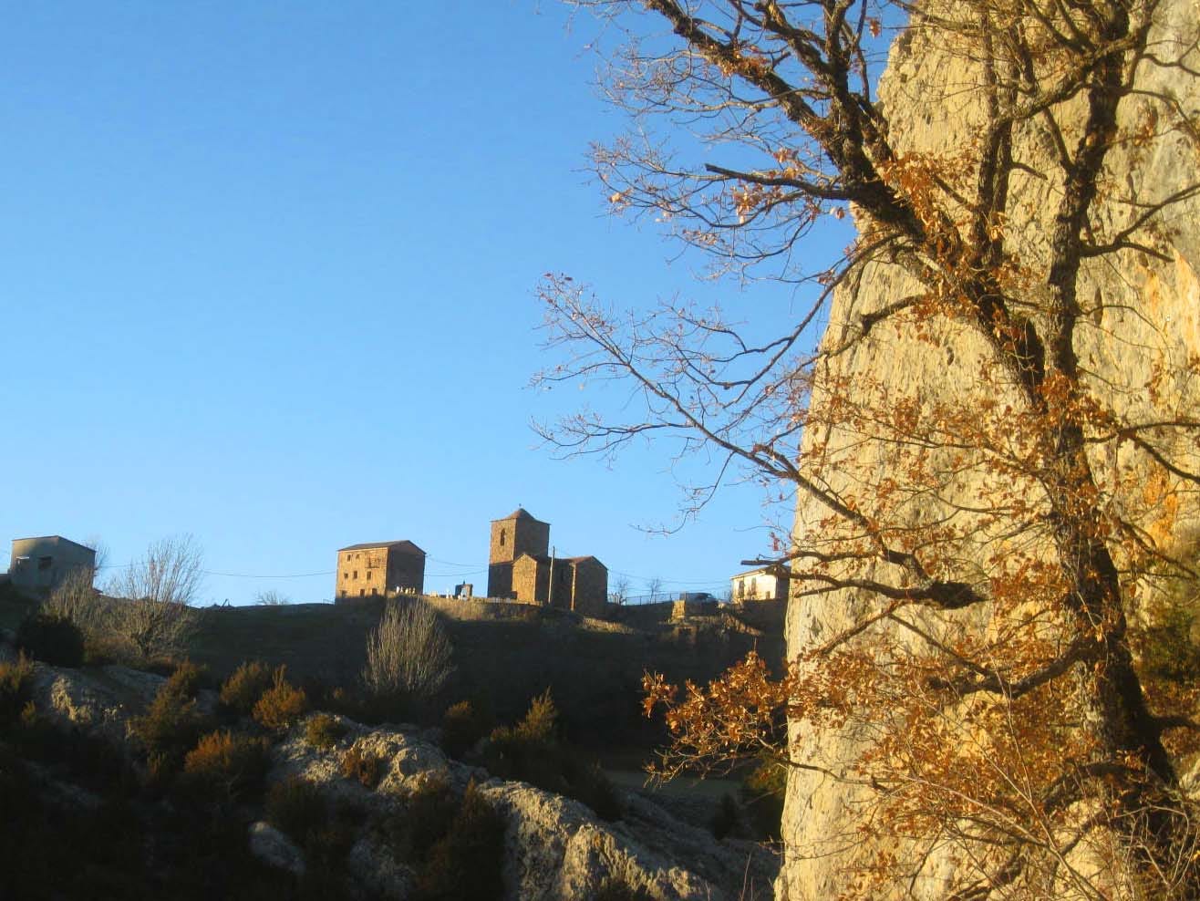
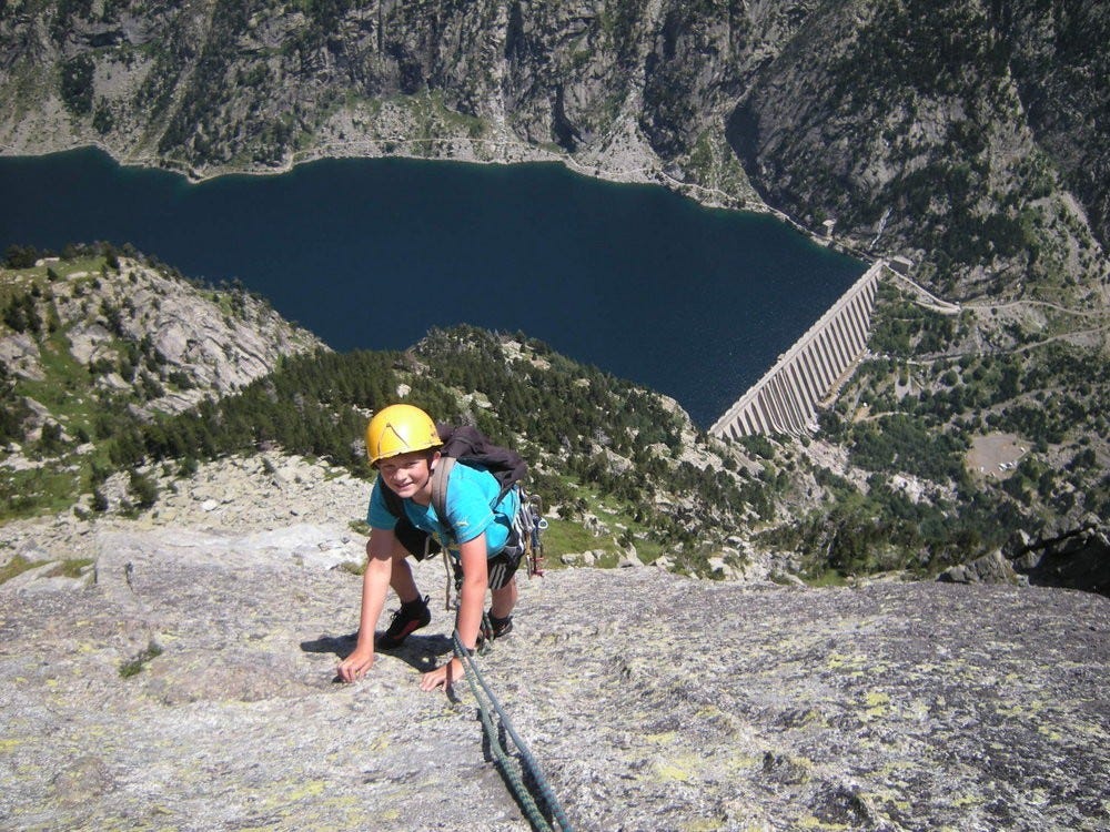
Climbing Sites, Central Pyrenees
In the valleys of Couserans, Luchon, Aure, & Aran, plus south into Spain
This page serves as an introduction to cragging in the central Pyrenees, depicting many lesser known crags and sectors. It provides links to topos wherever available - this page is no substitute for purchase of local topos - please purchase - & support local equippers. The zones covered are as follow (east to west) :
Tarascon valley
Couserans
Luchon valley
Aure valley
Neouvielle massif
Vielha into Spain
Cavallers & Travessani
For UK climbers and other non-residents it answers some important questions :
Is Ariége the only zone worth visiting in the Pyrenees ?
Is Suberpene the only crag in the valley of Aure ?
Where else in the Pyrenees can I climb on granite ?
Where to climb during summer heatwaves ?
Where can I climb trad in the Pyrenees ?
Where can I climb on tufas ?
Is winter cragging feasible in the Pyrenees ?
Tarascon valley - ‘Tarasconnais’
The valley stretching from Foix in the north up to Ax les Thermes in the south.
Sedour: Balcon des Seigneurs
Exposition: SW Approach: 30mins Num routes: 30 Grades: 5c to 7c
Pitch length max: 40m Season: summer Alti: 700m Frequency visited: low
Access: Arrive in Bedeilhac, as for Calames, but turn R in the village centre, towards the tourist cave. On foot, as for Cimetiere des Boucs, but not so far. Turn off the screes R, a red sling on a tree marks the way.
Description: Plenty to do here in the 6s, even more in the 7s. A grandstand view out over the valley S. A bird-ban limits access - from mid Sept to end Feb.
Auzat Granite
Exposition: E Approach: 10-30mins Num routes: 250 Grades: 4a to 8a
Pitch length max: 25m Season: summer Alti: 800m Frequency visited: high
Access: SW from Tarascon on the D8 - traverse Vicdessos & continue through Auzat village. Within 1km look out for a carpark on the RHS.
Description: Bands of granite at several levels on a forested hillside. Some as short as 10m, others up to 25m. Also some quarried sectors.
Aston THT Granite
Exposition: NW Approach: 10mins Num routes: 24 Grades: 5c to 8b
Pitch length max: 25m Season: summer Alti: 700m Frequency visited: low
Access: 5km climbing W of Aston. To the R of the road, on a knoll with HT pylon overhead.
Description: Two sectors. On the L a steep sector with most grades in the 7s. To the R more varied grades down to 6b including cracks and corners.
Aston Coudene Gneiss
Exposition: E Approach: 5mins Num routes: 40 Grades: 4c to 8a
Pitch length max: 30m Season: summer Alti: 950m Frequency visited: low
Access: 9km on the road climbing W of Aston village, near to an intersect with the waymarked GR10.
Description: Two bars of gneiss with crimpy holds.
Aston Rieutord Granite
Exposition: E Approach: 30mins Num routes: 20 Grades: 5a to 7a
Pitch length max: 30m Season: summer Alti: 1800m Frequency visited: low
Access: 18km climbing W on the road above Aston.
Description: A crag for high summer; most grades in the 5s & low 6s. Several small multi-pitch up to 80m in length.
Lordat
Exposition: all Approach: 10-30mins Num routes: 100 Grades: 5b to 8b
Pitch length max: 40m Season: all Alti: 800m Frequency visited: high
Access: Back up the Tarascon valley, 10km NW of Ax les Thermes. S facing sectors (uphill) best from quarry car park located at track terminus after the Garanous cemetery. N & W facing sectors (descent) after parking in Lordat village.
Description: Many sectors and orientations to suit all seasons. The reddish limestone here has a strata and texture giving unique character and appeal. Some quarried sectors.
Dent d’Orlu Granite
Exposition: S/SE/E Approach: 30-60mins Num routes: 150 Grades: 5a to 8a
Route length max: 700m Season: summer Alti: 800m Frequency visited: moderate
Access: The minor roads above Ax les Thermes climb to Orlu & Ascou. E side routes are accessed from the ‘frying pan’ roadhead carpark above Ascou village. S & SE sectors are reached above Orlu.
Description: The main interest of Dent de Orlu are it’s multipitch routes which average more than 300m in length on the E face. The SE face is most notably host to the longest equipped routes in the Pyrenees ‘Les Enfants de la Dalle’ & ‘Durendalle’ at nearly 1000m. Also several single pitch sport crags with harder grades.
Outings C2C - Dent d'Orlu for more route info and photos
Couserans
The zone within Ariége spreading into the valleys S of St Girons; it stretches E from Salies de Salat and stops well W of the Tarascon valley
Prat Bonrepaux
Exposition: S Approach: 2mins Num routes: 30 Grades: 5a to 7b
Pitch length max: 25m Season: summer Alti: 350m Frequency visited: high
Access: Visible from the road
Description: Blackish & orange limestone. The steep LH sector has routes well into the 7’s. The middle sector is good for routes up to 6c, but many have a scramble approach. The RH ‘tower’ sector is good at 5b/c but note also a classic 6a. A few small tufa passages add interest.
Montegut
Exposition: N Approach: 5mins Num routes: 30 Grades: 5a to 7b
Pitch length max: 30m Season: summer Alti: 500m Frequency visited: low
Access: Park in village & walk the tarmac N before turning L onto the track access
Description: Valuable for the summer. Some lesser travelled routes are brambly
Rémillasse
Exposition: SE Approach: 20mins Num routes: 50 Grades: 5a to 7b
Pitch length max: 25m Season: all Alti: 600m Frequency visited: moderate
Access: Travelling SE from Moulis on the D137. The crag is not visible from the road, high to the N. Limited roadside parking. Steep footpath ascent zigzags unpredictably
Description: Diverse, towers, bulges and walls.
Turguilla Granite
Exposition: NW Approach: 20mins Num routes: 35 Grades: 5a to 7b
Pitch length max: 25m Season: summer Alti: 1900m Frequency visited: low
Access: Above the Guzet-Neige ski station. 5km vehicle approach on mountain track - 4WD useful but not essential.
Description: Notable for the ‘Wall of Knobs’ - only 5 but v notable routes around 6a; some passages are notably tufa like in character. Some small multipitch up to 4 pitches, 80m. Great for summer heat but take note of storm instability.
Lezardons dans le Couserans climbing topo
Luchon Valley - ‘Luchonnais’
The valley (and surrounds) of river Garonne stretching from Saint Gaudens in the N down to Marignac where the valley forks, and including the two forks running S to Bagnéres de Luchon & Saint Béat.
Regades
Exposition: W Approach: 5mins Num routes: 25 Grades: 5a to 6b+
Pitch length max: 15m Season: all Alti: 300m Frequency visited: moderate
Access: Exit Encausse les Thermes (driving towards Regades) past the sawmill and arrive at a hamlet. After the hamlet park up by the recycling bins. Cross the road and take a signed track opposite.
Description: A small crag of quarried rock; useful for learners or simply for it’s proximity. The LH sector has curious dimpled rock with grades up to 5c, while the RH sector is of a more natural character with cracks and corners.
Seilhan
Exposition: S Approach: 15mins Num routes: 25 Grades: 5a to 7a
Pitch length max: 15m Season: winter Alti: 300m Frequency visited: low
Access: Leave the D33 just S of Gourdan Polignan, direction seilhan village. Final approach is in the gloom of a disused railway tunnel just above the river Garonne. Otherwise it’s complicated; via unmetalled country tracks.
Description: A small crag of quarried rock; useful for learners or mid-grade climbing. The site is favored by a goat herd; if not visible below, they could be present above - helmets advised. The LH sector is steep & includes the hardest routes, while to the RHS a small vertical wall includes routes up to 6a+ . The crag is in the woods, with deciduous trees providing summer shade at all levels.
Troubat
Exposition: W & SE Approach: 5mins Num routes: 75 Grades: 5a to 8a
Pitch length max: 40m Season: all Alti: 700m Frequency visited: high
Access: Leave the D33 heading SW out of Labroquere, road signs point the way through several road junctions.
Description: The impressive main cliff (W facing) was once used for a national competition (hence the road signs). A handfull of lower grades are useful, but the steeper walls are largely dominated by 7th & 8th grade routes. Get ready for old skool grading and (sometimes) spaced bolts. The quarry sector (25m max) is useful for lower and mid grades. In between these two aforenamed sectors is ‘Batman’ with just a handfull of small but worthwhile routes. A lot of tufa action here but only well into the 7s.
St Pé d’Ardet
Exposition: S Approach: 5-10mins Num routes: 100 Grades: 5c to 8a
Pitch length max: 25m Season: all Alti: 600m Frequency visited: high
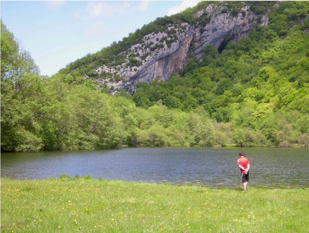
Access: Saint Pé village is in the low hills NE of the D33 at Ore. After leaving the village northbound, continue past the lake; the crags are spread to L & R of the road
Description: Numerous sectors. Old skool grading. Some tufa action to be had - even as low as 6a. NB. The lake is a mecca for summer bathers !
Ore
Exposition: W Approach: 10mins Num routes: 40 Grades: 5a to 8a
Pitch length max: 20m Season: all Alti: 400m Frequency visited: moderate
Access: Virtually on the D33. Close to the N entry into the village - from the N125, is a rough track heading uphill parallel to the N125. Follow this to an obvious parking space with info panel.
Description: The approach path arrives beneath the main sector with grades from 6a to 8a; old skool grading - Papy Turbo has been rated by many as the world’s hardest 6a ;) Tufas ? Yes ! Uphill to the RHS is a more recent sector with more honest grades (5a to 6b).
Cierp Gaud Gneiss
Exposition: S & N Approach: 0-20mins Num routes: 80 in all Grades: 5a to 8a
Pitch length max: 35m Season: all Alti: 500m Frequency visited: low/high
Access: The parking is that used for Pyrenees Ho accro park, 3km N of Marignac.
Description: aka Rouziet. Parking level sectors - instant access. A 2nd level tier can be accessed as L2 after certain of the lower tier’s L1’s. The high sector ‘Petit Ours’ is 100m higher, accessed with a via ferrata assisted scramble from the RHS of the parking sector. Inside the Pyrenees Ho accro park is sector Bazouert, 8m-15m, facing N; this suffers from lichen buildup after rain pour-off, and low frequency of visits. It is however invaluable for heatwave conditions. 7b max
Pic du Gar multipitch
Exposition: S Approach: 2hrs Num routes: 10 Grades: 6a to 7a
Route length max: 250m Season: summer Alti: 1500m Frequency visited: low
Access: Leave the N125 2km N of Saint Béat, and climb up to Bezins-Garraux. Park up next to the church in Bezins-Garraux. Follow the footpath which zigzags steeply at times. Break out R for the crag, visible from afar to the S
Description: An imposing and picturesque mountain crag, best known for it’s multipitch ‘Ginseng’ 6b/c - mostly equipped. Various semi equipped routes exist. Latest all equipped route is ‘Un Sourire Parmi les Etoiles’ 6c.
Outings C2C - Pic de Gar for more route info & photos
Saint Béat
Exposition: S Approach: 0mins Num routes: 30 Grades: 5c to 7c
Pitch length max: 30m Season: summer Alti: 600m Frequency visited: low
Access: A roadside crag, to LHS of the road leaving St Béat - climbing E towards Boutx & Col de Menthé.
Description: Quarried rock with a pedigree stretching back to the Roman empire.
St Mamet Granite
Exposition: W Approach: 2mins Num routes: 40 Grades: 4a to 6c
Pitch length max: 20m Season: all Alti: 600m Frequency visited: high
Access: S of Bagnére de Luchon, on the LHS of the road climbing to Col de Portillon. Use the parking which also serves the indoor climbing wall of Luchon Haute Montagne club.
Description: A useful crag for learners with most grades around 5b. Also useful for mid 6’s
This zone used to be served by the now out-of-print topo ‘Escalades en Pyrénées Centrales’. The local club ‘Entre Terre & Ciel’ & national association FFME now jointly present information.
Free ETC club topos, Luchon Valley
Aure valley - Val d’Aure
The valley stretching S of Lannamezan & La Barthe de Neste on the D929. Southernmost crags are around Arreau & even S of Saint Lary Soulan.
Lortet
Exposition: W Approach: 5mins Num routes: 30 Grades: 4c to 6c
Pitch length max: 25m Season: all Alti: 300m Frequency visited: moderate
Access: S of La Barthe de Neste the crag is visible distantly from the D929, on a small isolated hill to the E. After arrival in the village of Lortet cross the river and park on the LHS of the road.
Description: A useful crag for low to mid 6’s. A few stinging sandbags but good climbing nevertheless.
Suberpene
Exposition: S Approach: 25mins Num routes: 200 Grades: 5a to 8c
Pitch length max: 40m Season: summer Alti: 600m Frequency visited: high
Access: S of Heches on the D929, turn R onto a track with overhead waterpipe crossing ahead. Do not go under the pipe, turn L and follow the track past a farm, a good km. Generous parking just before the barrier. Continue on foot, with crags finally visible above and R. There are then 4 approaches to different sectors.
Description: A useful winter crag, good down to 10degC with full sun, but a misplaced hill will cut the day short. Quite a few scattered sandbags. Many sectors sport tufa climbing, notably ‘Turbulence’; sector ‘Hong Kogne’ offers the ultra-classic 6b/+ ‘Colo de Bonobos’ - in which the à cheval tufa passage is a real tickle.
Pene Basse
Exposition: S Approach: 30mins Num routes: 40 Grades: 5c to 7a
Pitch length max: 40m Season: winter Alti: 1200m Frequency visited: low
Access: S of Heches on the D929, cross the river in Rebouc, as for Pene Haut. The track is better suited for 4WD but goes with care and determination with 2WD. Mount as for Pene Haut but stop at the middle col, close to a generous car park zone. The approach must be learned, with the help of blue spot way markings.
Description: Several classics in the mid to high 6’s make this a site worthy of many revisits. The lowest LH routes feature crinkly rock texture (crepis ) , otherwise less notorious than Pene Haute.
Pene Haut
Exposition: S Approach: 2mins Num routes: 150 Grades: 5a to 8a
Pitch length max: 40m Season: summer Alti: 1400m Frequency visited: medium
Access: S of Heches, cross the river in Rebouc. Continue steeply on tarmac for 1km until a turn R onto rough track. The track is better suited for 4WD but goes with care and determination with 2WD. The final col with generous parking is evident, as is the uphill approach. The crag is open to splendid panoramic views S to the bigger Pyrenees.
Description: Notorious for it’s crinkly rock (crepis ) and hard grades. It’s a style and taste worth acquiring for the crag’s variety and setting. A lot of tufa action here, but only well into the 7s.
Sarrancolin
Exposition: E Approach: 2-5mins Num routes: 50 Grades: 4a to 6c
Pitch length max: 20m Season: all Alti: 500m Frequency visited: medium
Access: On the D929. Bang in the centre of Sarrancolin is a generous car park, busy on market days. The crag is visible behind, and accessible after crossing an aqueduct.
Description: A useful crag to escape the heat. The blackened limestone is sometimes friable. Some small easier multipitch, useful for learning.
Col de Beyrede
Exposition: W Approach: 15mins Num routes: 30 Grades: 5b to 7a
Pitch length max: 40m Season: winter Alti: 1200m Frequency visited: low
Access: S of Sarrancolin is an abrupt RH turn for Beyrede, marked notably for the Beyrede climbing wall. From this jct the steep uphill road is followed for 20mins, and may need some learning. The col is evident, with open views to the S. Be gentle with ponderous and laid-back ruminants which often block the road. The orange tinted rock of the crag is visible from the col, to the NE. Mount the well cropped grassy shoulder, continue on a well trodden footpath until below the crag (barely visible), then mount on zigzag.
Description: Splendiforous setting. Limestone with a ( different) character. Soft grades :)
Grezian
Exposition: NW Approach: 5mins Num routes: 60 Grades: 5c to 7b
Pitch length max: 40m Season: winter Alti: 800m Frequency visited: high
Access: S of Arreau on the D929 is a jct for Grezian village. Take this but park after 200m on the RHS. The footpath approach is in the woods opposite. The crag is visible.
Description: A useful crag for the heat. The sun arrives at 14h, after which, at least belayer comfort is assured by trees. Limestone with a strata and texture yielding a pleasing character.
Las Devotas - Spain
Exposition: E Approach: 10mins Num routes: 50 Grades: 6b to 8b
Pitch length max: 40m Season: winter Alti: 800m Frequency visited: low
Access: Travelling into Spain approx 20km S of the Bielsa tunnel on the A138, you arrive at the gorge Congosto de las Devotas which finishes with a tunnel passage. The crag parking is just before the tunnel on the RHS.
Description: Steep tufa jugging - loads to do around 7a
Revilla - Spain
Exposition: S Approach: 5mins Num routes: 25 Grades: 6c to 8a
Pitch length max: 20m Season: winter Alti: 1000m Frequency visited: low
Access: Travelling into Spain S on the A138, approx 23km S of the Bielsa tunnel, traverse the village of Lafortunada; after another 3km turn R for Tella & Revilla. The road climbs back northwards nearly 10km to arrive at the village.
Description: Two sites, the main one of interest is a small black streaked cirque, with a tufa-rippled rockscape. This is ‘Cueva de Lisava’. Try to arrive pre-warmed up ;) The other sector ‘Village’ (easier grades) would be unlikely to justify the journey.
Aure Vertical for climbing topos
Neouvielle massif Granite
This is does not reference a valley, rather a group of sites at altitudes between approx 2000m & 3000m centred v roughly around Pic de Neouville 3091m
Cap de Long
A group of sites with foot approach ranging from 5mins to 2hrs.
Access: S of Saint Lary Soulan (ski station) is a jct in the village of Fabian on the D929. Turn R (W) to follow the winding ascent which climbs up to the dam (20mins). There is a generous carpark next to the café-bar Garlitz, with space for overnight car-camping below the crags.
Muraille de Cap de Long
Exposition: E Approach: 5-15mins Num routes: 60 Grades: 5c to 7b
Multipitch max: 200m Season: summer Alti: 2100m Frequency visited: moderate
Access: The crags loom directly over the carpark, so all are visible, except secteur Domi, which is half a km back down the approach road.
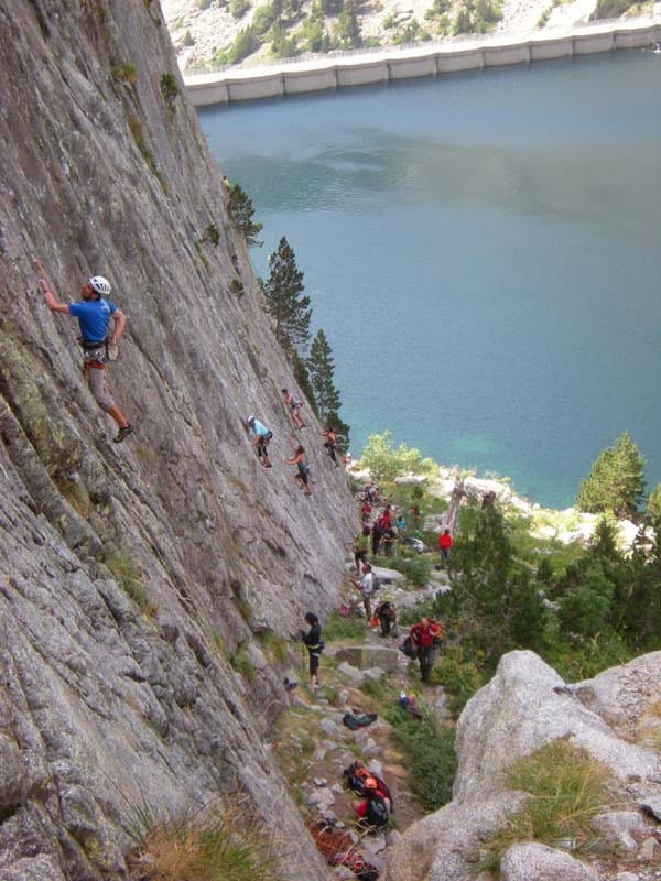
Description: A mecca in summer heat. Managing warmth can still be tricky with cold starts, then hot sun until 14h approx. There are notably 2 single pitch sport sectors (Dolmen & Domi) with pitch length up to 30m. The main cliffs are in close proximity but split into sectors Mariposa, Pubis, Carpe Diem & Embarquement Immediat, with multipitch 2 to 4 lengths, mixed pro. The morphology ranges from slab to steep, and overhanging with strong 3d features creating rope management issues.
Outings C2C - Muraille Cap de Long for more route info & photos
Neouvielle
This is a collection of sites and sectors, all S facing, spread across the flanks of Pics Neouvielle & Ramougn, with some lower, almost starting at the lake waterline. (named Rive Gauche in the topo )
Calanque de Cap de Long
Exposition: SW Approach: 1hr30 Num routes: 6 Grades: 5c to 7b
Multipitch max: 250m Season: summer Alti: 2100m Frequency visited: low
Access: Hike to the head of the lake, then follow the shore back E. The crags are on the RHS of a scree filled bay, best identified during approach - from opp side of the lake.
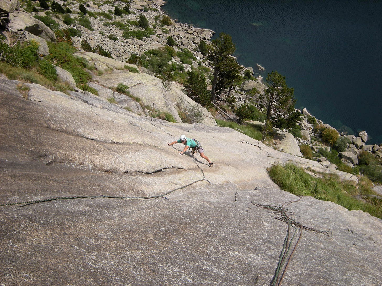
Description: Early or late summer provide best conditions. All routes are equipped for abseil, many demand mixed pro. ‘America’ is nearly 100% trad.
Outings C2C - Calanques de Cap de Long for more route info & photos
Rognon de Ramougn
Exposition: S Approach: 2hrs Num routes: 6 Grades: 5c to 7a
Multipitch max: 350m Season: summer Alti: 2100m Frequency visited: low
Access: Hike to the head of the lake, then follow the shore back E. Traverse the lake shore beneath sector Calanques and continue to the foot of the Rognon - a vast broken bulging buttress; it is directly S of a notable triangle of reddish rock - part of the Muraille de ramougn above. The crag is best identified during approach - from the opp side of the lake.
Description: Early or late summer provide best conditions. Mixed pro; all routes are equipped for abseil.
Outings C2C - Rognon de Ramougn for more route info & photos
Raisin d’Ours
‘The bear’s grapes’ (ours == bear) - named after a low spreading plant related to physalis - but with smaller fruits.
Exposition: S Approach: 1hr30 Num routes: 6 Grades: 4b to 6a
Multipitch max: 200m Season: summer Alti: 2400m Frequency visited: low
Access: From the N end of the dam, hike the zigzag trail which climbs up to the col ‘Pas de Gat’. Do not climb up to the col but continue W. The routes are on the flank above, best identified at the outset, from the dam.
Description: This sector is in the same line of cliffs which run into Muraille de Ramougn. Mountain routes D / TD, mostly trad.
Outings C2C - Muraille de Ramougn
Muraille de Ramougn
Exposition: S Approach: 2hrs Num routes: 20 Grades: 5c to 6c
Multipitch max: 200m Season: summer Alti: 2500m Frequency visited: low
Access: From the N end of the dam, hike the zigzag trail which climbs up to the col ‘Pas de Gat’. Do not climb up to the col but continue W. Traverse below sector Raisin de Ours. The routes are on the flank above, best identified at the outset, from the dam.
Description: This sector is in the same line of cliffs which run W from Raisin d’Ours Mountain routes from 5a to 6b, mixed pro.
Outings C2C - Muraille de Ramougn
Neouvielle S face
Exposition: S Approach: 2hrs Num routes: 1 Grades: 5c to 6b
Multipitch max: 350m Season: summer Alti: 2700m Frequency visited: low
Access: From the N end of the dam, hike the zigzag trail which climbs up to the col ‘Pas de Gat’. Do not climb up to the col but continue W. Traverse below sector Raisin de Ours & the Muraille de Ramougn, towards the great wall of the Pic des Trois Conseillers which blocks westward progress. The route is on the flank above, best identified at the outset, from the dam.
Description: The single route here is the Immortela, which finishes on the summit of Pic de Neouvielle 3091m. Mixed pro.
Outings C2C - Neouvielle - Immortela for more route infos & photos
Les Espades
This is a group of W facing sites (peaks) with foot approach ranging up to 2hrs30.
Access: S of Saint Lary Soulan (ski station) is a jct in the village of Fabian on the D929. Turn R (W) to follow the winding ascent which climbs up towards the dam. Before reaching the dam of Cap de Long, turn off R for lake Oredon. From here it is necessary to continue upwards for the parking at lake Aubert.
In high summer this stretch of road (between lakes Oredon & Aubert) is under automated toll access, but further complicated by daytime restrictions from 9h onwards. After 9h it is oblig to park up in the carpark at Oredon and make use of the shuttle bus; therefore most climbers will choose to arrive early, or the previous night. At lake Aubert there is a free ‘rough’ camping zone (limited facilities) .
Petit Pic d’Espade 2773m
Exposition: W Approach: 2hrs Num routes: 6 Grades: 5c to 7a
Multipitch max: 250m Season: summer Alti: 2600m Frequency visited: low
Access: From the carpark at lake Aubert, hike one of two trails - to arrive at one of two cols - either Breche de Chaussenque 2790m or Hourquette de Aubert 2498m. From the former descend and traverse N, or from the latter climb and cross a double spur SW, with descent to the foot of the peak.
Description: The routes here are alpine in nature, with up to 6 pitches. In early summer final approach may well be snowy under foot, and the air frosty. The sun is not on the rock until around 12h. Mixed pro.
Outings C2C - Petit Pic d'Espade for more route infos & photos
Grand Pic d’Espade 2852m
Exposition: W Approach: 2hrs Num routes: 12 Grades: 5c to 8a
Multipitch max: 250m Season: summer Alti: 2600m Frequency visited: low
Access: From the carpark at lake Aubert, hike the trail for Breche de Chaussenque 2790m. From the here descend and traverse N to the foot of the peak.
Description: The routes here are alpine in nature, with up to 6 pitches. In early summer final approach may well be snowy under foot, and the air frosty. The sun is not on the rock until around 12h. Mixed pro.
Outings C2C - Grand Pic d'Espade for more route infos & photos
Pointe 3021m
Exposition: W Approach: 2hrs30 Num routes: 3 Grades: 5b to 7a
Multipitch max: 300m Season: summer Alti: 2700m Frequency visited: low
Access: From the carpark at lake Aubert, hike the trail for Breche de Chaussenque 2790m. From here descend and traverse S to the foot of the peak.
Description: The routes here are alpine in nature, with up to 6 pitches. In early summer final approach may well be snowy under foot, and the air frosty. The sun is not on the rock until around 12h. Mixed pro.
Outings C2C - Neouvielle Pointe 3021m for more route infos & photos
Aure Vertical for climbing topos
Vielha & the Gateway into Spain
The corridor reaching down between N Lerida sites (ref POD’s Lleida Climbs topo ) & Aragon (Rodellar, Alquezar )
Bagergue Granite
Exposition: E Approach: 15-25mins Num routes: 100 Grades: 5c to 8b
Pitch length max: 35m Season: winter Alti: 1400m Frequency visited: high
Access: Travelling E from Vielha on the C28, Turn L (N) in Salardu and park up in Bagergue village. The crags are visible opposite, W, and reached after descent and re-ascent either side the river.
Description: A useful crag for the heat but tricky hotter than mid 20s. The sun quits around 14h; some trees at foot around many sectors. Sector Initiation provides several useful short (8m) routes. Duro de Pelar is steep and often leaning with many classics up into the 8s. The slabby zone gives short multipitch (up to 3 lengths) - useful in lower grades - up to 6a.
Viuet
Exposition: all ex N Approach: 10-15mins Num routes: 120 Grades: 5c to 7b
Pitch length max: 40m Season: all Alti: 950m Frequency visited: high
Access: S of Villaler, Viuet crag is visible to the E of the N230 as a huge fin of rock, divided by a stream which cuts through roughly at centre. A generous layby E of the road is spotted abruptly (!) - also serves a farm. Approach on foot across the aqueduct or via the farm track with demented snarling dogs.
Description: It is the 1st crag, travelling S - away from the Pyrenees & France, when inclement weather systems dominate there. It’s utility is enhanced by availability of routes on each side of the fin to suit available sun or shade. At the S end is a platform with the most useful lower grades around 6a.
Alins - El Templo de Metal
Exposition: W Approach: 20mins Num routes: 20 Grades: 6a to 8a
Pitch length max: 30m Season: summer Alti: 1300m Frequency visited: low
Access: Break off the N230, heading W on the N260. In the village of Vilaplana take a country road heading S for the ‘one horse’ village of Alins. Park up by the church and head S on a rocky bridle path which arrives 1st below sector El Camino. El Templo de Metal is 10mins further on; the point to break off the bridle path (L) is far from obvious, marked by a v modest cairn.
Description: Several classics in a quiet setting with grandstand view - all make this worthy of a visit or several. Some small tufa passages.
Buitre Buittaker
Exposition: S Approach: 5mins Num routes: 60 Grades: 5c to 7b
Pitch length max: 25m Season: summer Alti: 1000m Frequency visited: high
Access: 7km S of Pont de Suert, overlooking the serpentine convolutions of the N230 above the reservoir; the car park arrives abruptly - take care skipping in and out of the heavy traffic. Many other sectors exist around this reservoir.
Description: A useful crag in winter with temps > 13degC and direct sun.
Betesa
Exposition: SE Approach: 5mins Num routes: 50 Grades: 5c to 7b
Pitch length max: 30m Season: winter Alti: 1000m Frequency visited: high
Access: 8km S of Pont de Suert is a jct on the N230 for Betesa village. Follow this heading NW until a dirt track jct appears on the L, when Betesa village is in view just above and to the R. Follow this for a good km until the crags are evident above and to the R.
Description: Closed spring and summer. The landowner declares ‘No topos !’ . Offering pleasing variety by nature of it’s reddish conglomerate. A great winter crag. The sun quits early but stored heat in the rock sustains comfort until dusk.
Escales & Sopeira
Exposition: SW Approach: 10mins Num routes: 20 Grades: 5c to 7b
Route length max: 200m Season: summer Alti: 600m Frequency visited: low
Access: This multipitch crag is set in the cliffs just below the dam - which retains the reservoir S of Pont de Suert. Travelling S the N230 passes the dam walkway,before the turning for Sopeira village and local road which descends to the foot of the dam. Access from above and below are possible; connection is made via the rather derelict & infamous zigzag staircase (don’t trip up !).
Description: Descend into the gorge via and park at terminus by the dam tunnel access gate. Cross the low wall and scramble along river side rocks below the impending dam. If the siren sounds you have 5mins to skidaddle before the whole zone is flooded ! Around Sopeira exist many other climbing sectors - single and multi-pitch, of which Pic de Saint Cugat & Tallo d’Aulet are better known. Mixed pro.
Outings C2C - Escales Dam Wall for more route infos & photos
Barranco Viu Llevata
Exposition: S Approach: 45mins Num routes: 100 Grades: 5c to 8a
Pitch length max: 30m Season: summer Alti: 1100m Frequency visited: low
Access: The picturesque village of Viu de Llevata is situated by the N260 which crosses the hills between Pont de Suert and La Pobla de Segur. The pass has 2 cols - the village is adjacent to the most westerly. On foot, traverse the village, (now heading N) descend into and cross the gorge, then ascend obliquely W for sector access.
Description: Viu de llevata is noted principally for it’s canyoning. The crags are set high above the gorge and to the N. They are visible after traversing the village, or from the road. There is a classic tufa route at 7a - close to where the approach path arrives.
El Molino, Benabarre
Exposition: S Approach: 5mins Num routes: 30 Grades: 5c to 7b
Pitch length max: 25m Season: summer Alti: 600m Frequency visited: high
Access: Below Benebarre is a layby crescent on the N230, with grassy parking. The crag is visible 100m below the carpark.
Description: Pleasing steep conglomerate. A useful crag for the winter with quick foot access. Also labelled La Molina.
Santa Ana
Exposition: All Approach: 5-15mins Num routes: 120 Grades: 5c to 8a
Pitch length max: 40m Season: all Alti: 300m Frequency visited: high
Access: 5km N of Alfarras on the N230. The sectors are spread out around a gorge and below the dammed reservoir which bears the name Presa de Santa Ana.
Description: Multiple sectors good for sun and shade to suit. Diverse topology with walls and towers of differing height / route length. Tufas ? Yes !
Bagergue granite climbing topos
Vielha -> Pont de Suert, climbing topo
Luichy blog - infos & climbing topos - scroll down 5 pages for zone index
Libreria Foix for climbing topos - Pont de Suert
Cavallers Granite
Cavallers is but a small part of the Aiguestortes ‘Spanish lake district’. It is the best known climbing zone and entry point into the Aiguestortes, both for climbing and hiking. The terminus car parks are situated just below the dam at 1800m altitude. The reference ‘Cavallers’ denotes a climbing zone with many sectors - both single & multipitch.
Cavallers zone
Exposition: All Approach: 5-75mins Num routes: 700 Grades: 5a to 8a
Pitch length max: 60m Season: winter Alti: 1800m Frequency visited: moderate
Access: The road jct 2km N of Pont de Suert leads N through Barruera & past El Caldes de Boi spa village. Just beyond is a ranger’s control checkpoint which stops all drivers for briefing. The road continues as single track with passing places.
Description: Multiple sectors good for sun and shade to suit. Slabby climbing predominates but steep rock is at hand when you are ‘slabbed out’. The ‘real’ Cavallers experience places the climber on characterful granite - in sight of the dam and sparkling waters below, but also in view of the panoramic Pyrenees which scratch the sky close to 3000m altitude. Just a handfull of multipitch are entirely bolted - of which El Rap del Nino is the best known, most multipitch require mixed pro.
This zone is broken down into sub-zones as follows:
18 sectors in the valley below (S) of the dam & lake. Mostly single pitch, some smaller multipitch. Approach 5mins - El Antro, to 30mins - La China
5 sectors SW of the dam at altitude higher than the dam. Mostly multipitch. Aproaches 20mins - Durutti, to 80mins - L’Aran
On the E side of the lake, 11 sectors with single pitch and multipitch options - much to choose from. Approaches range from 3mins - Placa Xalmet, to 20mins
.
To the W side of the lake 15 sectors, ranging from quick access Pared Inerte sport climbing, to the longest access at the lake head - Pared Donde Peta el Riu Malo, mostly slabby multipitch. Approaches: 5mins to 60mins
At greatest altitude, high on the W side of the dam, are the Agulles Comalestorres, 7 sectors focus around 4 wider ‘needles’ (rather buttresses) with some of the best multipitch routes. Approach generally 60mins, but Pic de la Comalestorres 2807m offers 3 routes at 90mins access
.
At altitude to the E of the dam, a handfull of real mountaineering options in 3 listed sectors, lower grades - mostly below 6a. Mostly trad. Approach up to 150mins.
Travessani zone
Exposition: All Approach: 10-120mins Num routes: 300 Grades: 5c to 8a
Pitch length max: 40m Season: high summer Alti: 2200m Frequency visited: low
Access: The Travessani climbing zone is oriented around the refuge Joan Ventosa i Calvell, reached after a 2hr walk from the Cavallers dam carparks.
Description: 26 single pitch sectors are listed, including the show-piece El Vermell with it’s all star 8th grade offerings on a reddened crust of striated rock.
For the mountaineer, 22 multipitch sectors / peaks with mixed pro await, notably:
To the W with 120mins approach, the ‘Sugarloaf’ Pa de Sucre 2884m, with >12 routes up to 260m long; difficulties around grade V with crux pitches at 6a.
To the E, after 60mins approach, a crestline of needles (up to 2600m) - 1st, 2nd 3rd, 4th, 5th & 6th Agullas de Travessani, with 26 routes up to 260m length, many go at under 6a, others with crux pitches 6b/c. Mixed pro.
Aiguestortes zone
Exposition: All Approach: 30-120mins Num routes: 40 Grades: 5c to 7a
Route length max: 300m Season: high summer Alti: 2000m Frequency visited: low
Access: The access road breaks away from that which rises to Caldes de Boi. Climbing sectors are oriented around the refuge Estany de Llong. It is possible to hike the trail to arrive here, but a 4WD taxi service is available in most seasons, departing from a stand in Boi village.
Description: 11 multipitch climbing sectors / peaks are listed, mixed pro. Notably:
At 60mins from the refuge, the Agulles de Dellui present 11 multipitch routes up to 270m; difficulties center around IV & V climbing. Exposition NE.
The Agulla Diboneta is reached in 75mins approach. Complex topography, 5 routes up to 280m, with crux pitches around 6c. West facing.
Cavallers & Travessani climbing topo
Luichy blog - infos & climbing topos scroll down 5 pages for zone index
Other useful links
Geoportail FR maps will find all villages & some crags directly
ClimbingAway world crag finder
PhilRando's hiking circuits - includes excellent detailed maps
CampToCamp - C2C - for french speakers (or rather readers) this site contains a wealth of knowledge, logbook feedback - esp relevant for multipitch climbing. It covers the whole of the Pyrenees east to west, and in fact the whole of France :)
Please comment ! If you know of a site which I’ve missed - then let me know. Also if my info is incorrect, or you have a contribution which would improve given content. Thanks :)


