Pyrenees Granite: Neouvielle Ridge-Climbing
The Neouvielle massif '3 peaks', with technical scrambling on connecting ridges
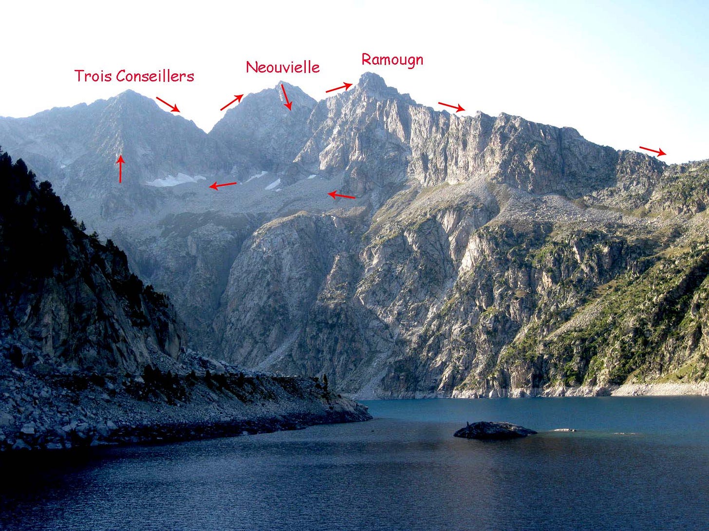
This is a belated recount of our classic day out in 2021. The wayposts of the circuit are as follows:
Cap de Long dam (barrage) 2161m : heading NW then W
Arête Ferbos starting at 2650m approx : heading NW
Pic de Trois Conseillers 3039m : heading NE
Brêche de Neouvielle 2926m : heading NE
Arête de Trois Conseillers : heading NE
Pic de Neouvielle 3091m : heading ESE
Neouvielle-Ramougn connecting ridge 2900m heading E
Pic de Ramougn 3011m : heading SE
Crête de Laquettes : heading ESE
Col de Pas de Gat 2465m : heading SE
The idea for this day started out as a protest from my son Rohan, fed-up with the paraphernalia of climbing gear; it gave rise to a new theme in our outings: climb some of the bigger Pyrenean peaks with focus on technical ascents, choosing outings feasible without ropes and harness.
My choice for a day out would invariably be roped climbing, but I can understand the lad’s gripe. The kit is heavy and involves patient manipulation at times. There’s a lot of waiting around especially while belaying.
Today we made one big concession for appropriate climbing gear: make the standard approach in walking boots, but once onto technical sections, pack walking boots and wear climbing shoes (aka rock slippers) - for extra security and confidence.
Rohan and I are both experienced climbers, but unsure of our limits solo. It was to be a day of discovery, with surprising satisfaction. Mountain hiking is solo. Negotiating rock steps is an acceptable solo. The problem comes when their is a yawning abyss below your feet - which demands certainty in making even a few moves of trivial difficulty. Self reliance is essential, as is route finding ability and assessment of rock quality & stability.
So here’s how the day worked out:
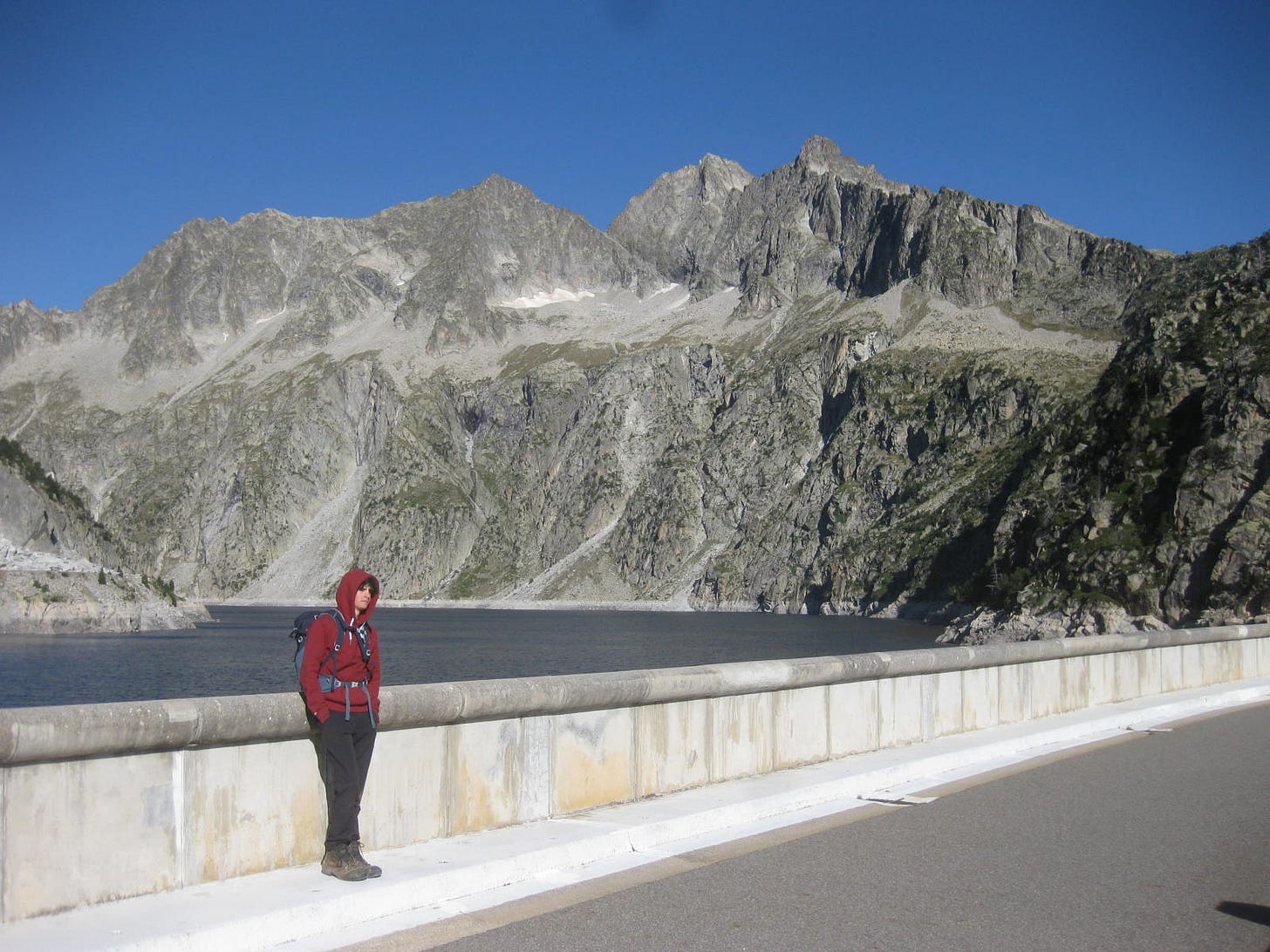
On the dam at 9h30
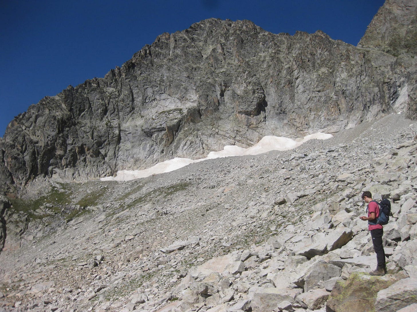
We started out at fairly late from the dam, 9h30, and made good progress zig zagging up to gain the long traverse which runs along the foot of the Muraille de Ramougn. Our target ridge eventually coming into view and the detail of final approach unfolded progressively. This proved to be quite technical from the start (at approx 11h), but with no significant exposure.
Arête Ferbos is the lefthand skyline; we joined it just L of the greenest pastures
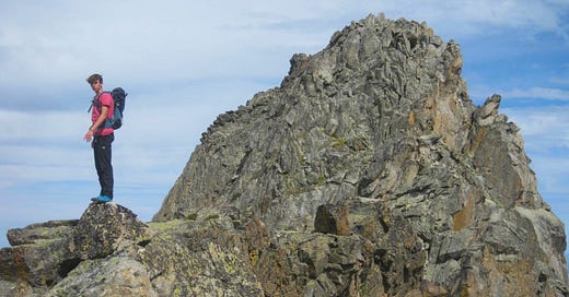
Then we settled into the main haul on the Ferbos, alternating between chossy corner systems and defined airy ridge pillars. It’s a popular classic, so there’s plenty of wear and tear clues, though some of these are doubtless left by ‘wrong turn’ attempts. We were both scared with this solo action and it’s dizzying exposure, and reassured each other that we could quit out after this first summit - which, according to our unease, would be the appropriate choice.
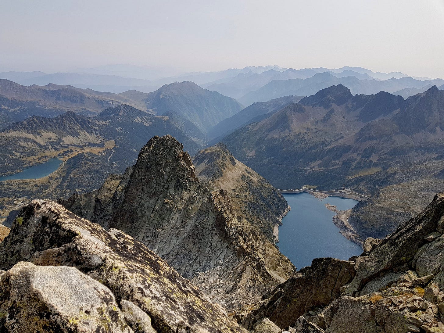
Ferbos ridge above Lac de Cap de Long & barrage
Ferbos ridge
Ferbos crux (?) passage - cracked slab
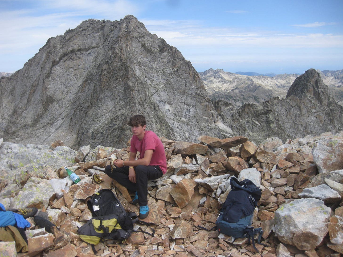
The difficulties finally eased, our familiarity grew, and we exited gratefully onto the broad, stable summit of Pic des Trois Conseillers for our lunch at 13h approx. Our collective mood quickly changed, things weren’t so bad, we had made reasonable time and there was time enough for the next ridge.
Lunch atop Pic de Trois Conseillers. Pic Neouvielle beyond with Pic Ramougn far right
Gavarnie skyline 20km SW: Le Casque 3006m, Breche de Roland 2807m & Le Taillon 3144m
Lunch over, we headed down easy rocky terrain (no balancing acts ) to arrive at the Brêche de Neouvielle, where we met a spanish guide couple prepping their roped ascent of the next ridge - Arête des Trois Conseillers (NB. on Pic de Neouvielle; confusing, yes!) . That was enough to motivate our speedy departure - to stay ahead. The very start is steep and requires strong pulls to make progress, but with good holds, soon easing.
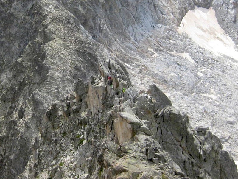
We took turns to lead ahead and find the route, with growing mutual confidence. Well below (ie. behind us) the guides appeared and our need to stay ahead encouraged progress. The guides were moving roped up together, and their expert rope management meant that they were certainly no slower than us - free of such encumbrance.
The spanish guide party - in green + red
Soon came the big summit of Pic de Neouvielle, to join hikers who had come up on the normal route from the north. We paused to take in the views and track the guide party who followed on our tails; they soon arrived and we exchanged contact details. We had made short work of this second ridge - with growing confidence and familiarity - stress levels were lower and spirit of adventure was higher.
The guide party (green + red) on approach ridge to Neouvielle summit
Pic de Ramougn from Neouvielle summit (credit Geordie, from another day).
Time to start eying up the way forward, which was less well defined. I can’t tell you where to begin, but we hopped clue to clue skirting and dodging obstacles, until the more open slopes looked well feasible - down to the connecting ridge. This unknown passage was suddenly behind us, the connecting ridge was level for a good stretch, and never too technical.
Neouvielle - Ramougn connecting ridge with Ramougn summit.
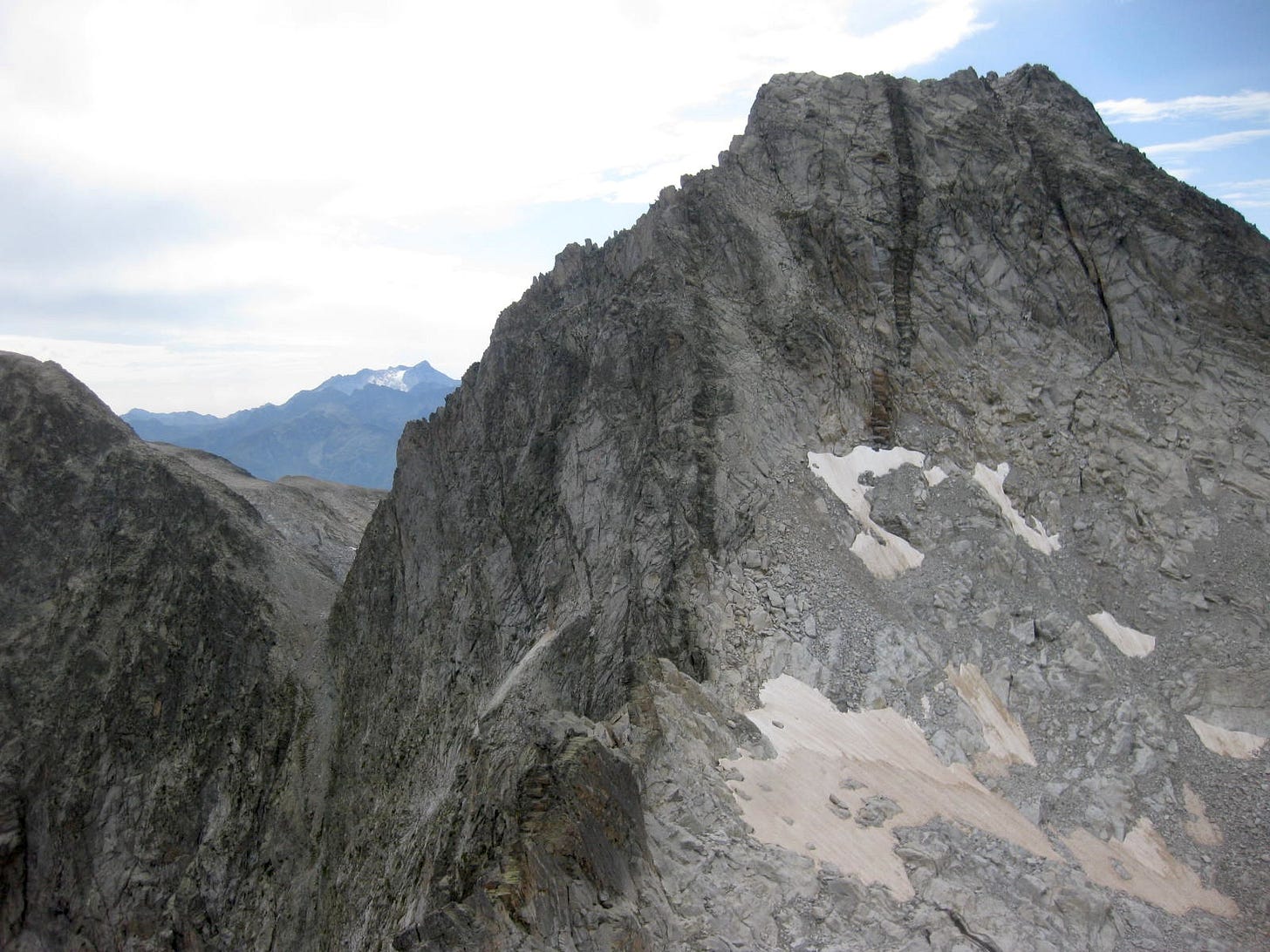
Our mood was upbeat as we climbed up to and gained the summit of Pic de Ramougn from where we had excellent views back towards Pic de Neouvielle. Our solo ridge climb is seen here in profile running up from the left. Distantly, and above the brêche, Pic de Vignemale is evident, 30km distant. From this vantage point two prominent dykes feature strongly - though we were totally unaware of them during descent.
Pic de Neouvielle E face.
By now we felt equal to any challenge, and felt quite frankly (but naively !) that we were passed any crux difficulties the day could throw at us. Wrong ! The descent off the Ramougn was not obvious but traces of passage were promising and we seemed to make good progress, when, and but a few steps later, the precipice below leered and very abruptly we were staring at a bunch of abseil slings - but no rope to make use of them ! What to do ? Climb back up and search out a detour ?
I spied a passage in the wall crack system below the slings - intimidating but looked feasible with care … a bit chossy in places. Rohan hung back while I set out to prove the plan, testing holds and lobbing loose rocks into space - shortly to clatter noisily on the rocks below. I encouraged Rohan to follow while keeping some distance; thus we edged and down climbed our way out of trouble. Easier slabby ground opened out, along with a reassuring cairn. This proved to be the real crux of the whole adventure - down climbing untravelled rock as hard as anything we had done in ascent. From the cairn below, it did appear that we had missed an easier descent, detouring firstly towards the north before cutting back towards the eastward exit.
The ever photo-genic pinks :)
The Crête de Laquets which followed held no technical difficulties - rather route finding challenges, as we were occasionally caught out staying too close to the airy views out over the big lake. Rohan came off better in this stretch, preferring blocks and screes lower on the N side, while I preferred the rocky crest, occasionally broken by a huge stone chute.
Finally we quit all rocky terrain and had no further need of our rock slippers; we had worn them for the best part 6hrs - almost non-stop ! Narrow trails then led us onward to the Col de Pas de Gat (col of the cat’s-step ?) and from there back on to the familiar zig-zags coming up from the dam. Our day came to a happy conclusion around 19h30, once again pacing the length of the dam wall to reflect with new insight on it’s 3-peaks panorama.
The Three Peaks: Trois Conseillers, Neouvielle & Ramougn
NB. Many of these photos have already been posted on the UKC Climbing Forum.
Excellent hiking / scrambling route descriptions from Phillipe Quéinnec aka philrando NB. excellent cartographie !
If you have recommendations for technical hikes in the Pyrenees, please tell us about them here :)

